Hi, my name is Isko Salminen.
I'm an adventure seeker and I love exploring nature with my camera and Australian Shepherd called Fire

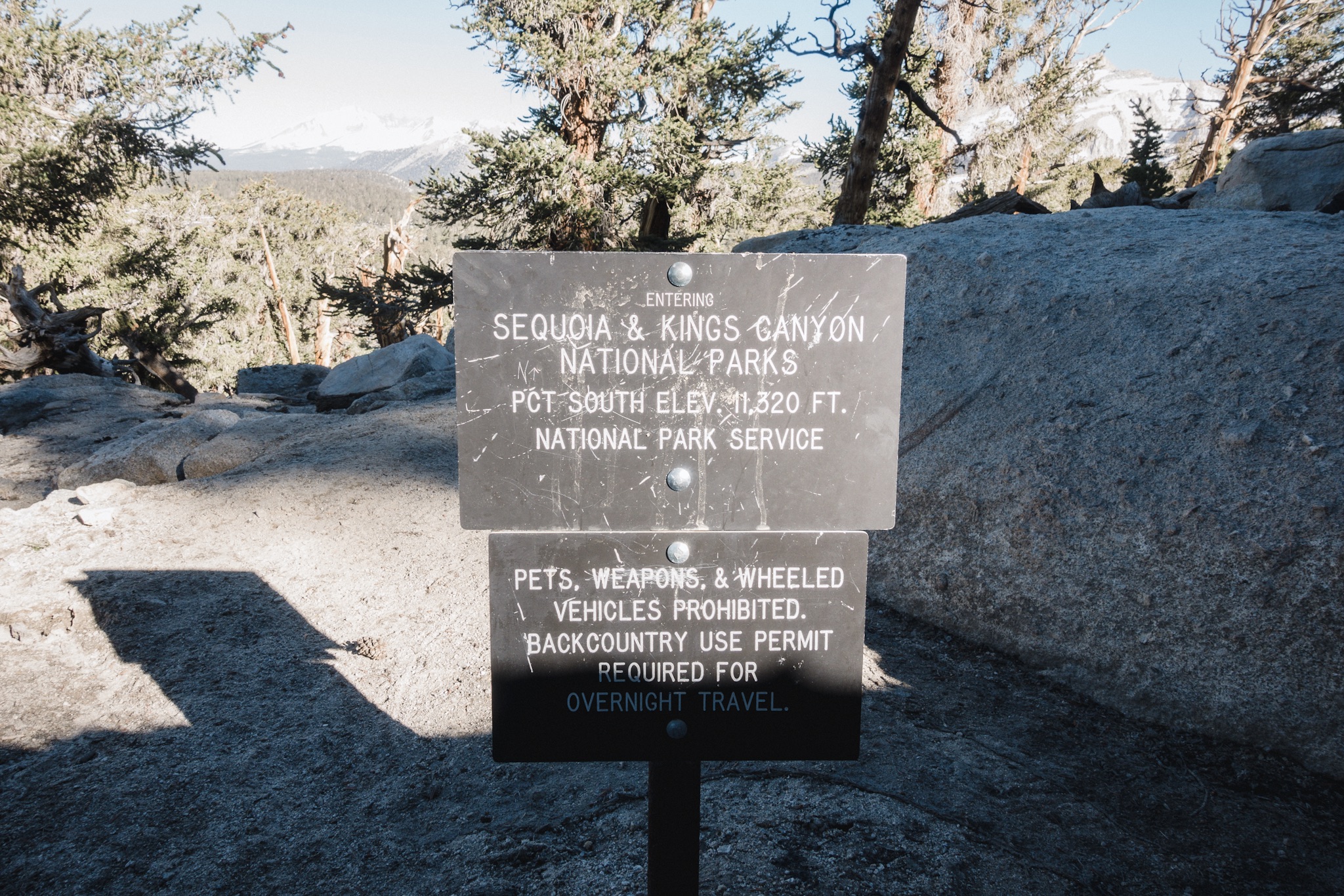
Day 55: Climbing Mt. Whitney

IMG_1150.JPG

Date: June 23, 2017
Miles: 15 miles (24.2km), from Crabtree Meadow to the summit of Mt. Whitney and back. 
Health: Very tired from the sun and climbing.

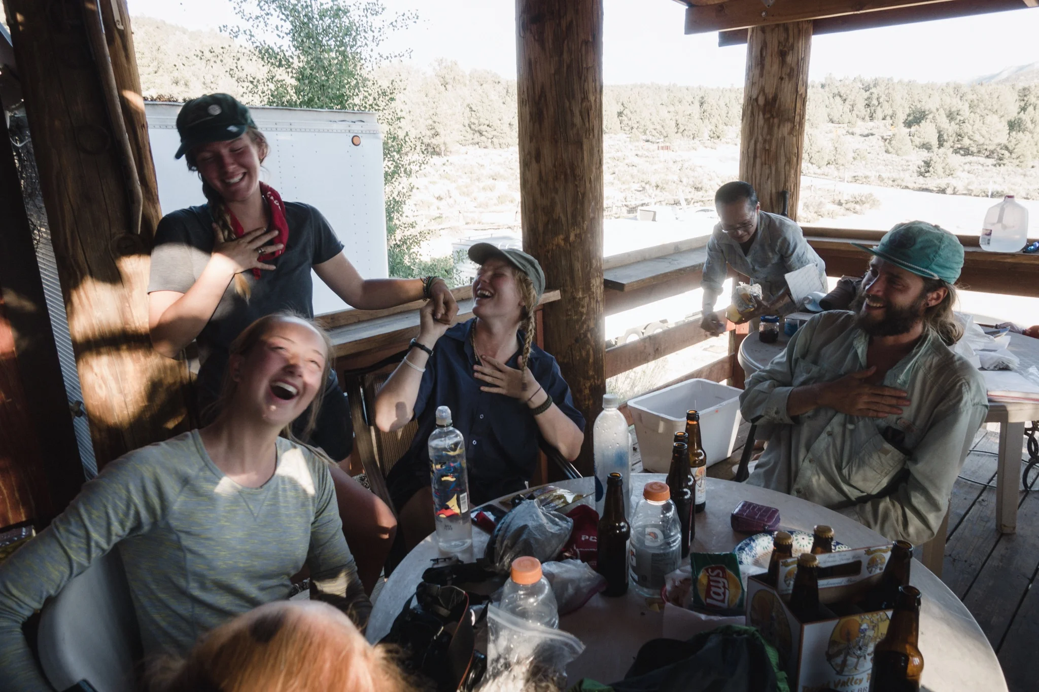
I slept poorly again last night. I kept waking up thinking I had slept late and missed our start. Once my alarm clock finally went off I felt tired and anxious. Today was one of the days I had been waiting since the day we started from Campo almost two months ago.

Our original plan was to make it to the top for the sunrise, but as we got to the camp so late, and everyone was feeling really tired, we decided to just get up there and forget the sunrise. It still meant we had to get up really early.

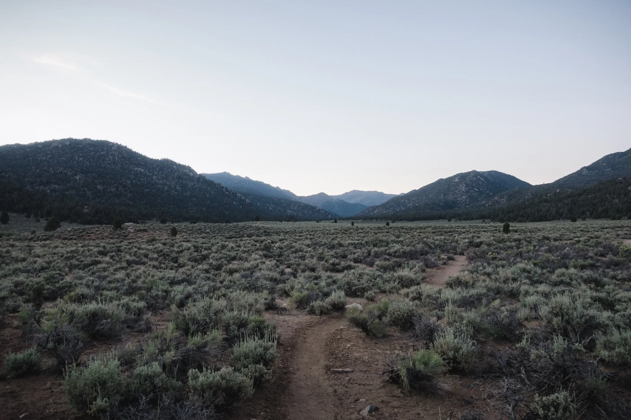
Once my alarm went off I got out of my sleeping bag and was immediately hit by the cold air. This was my least favorite moment of every day. I got out, threw some food, warm clothes and some other extra gear into my pack and collapsed my shelter as I needed the trekking poles for climbing. I put some rocks on top of the tarp just to make sure it wasn't flapping in the wind while I was away.

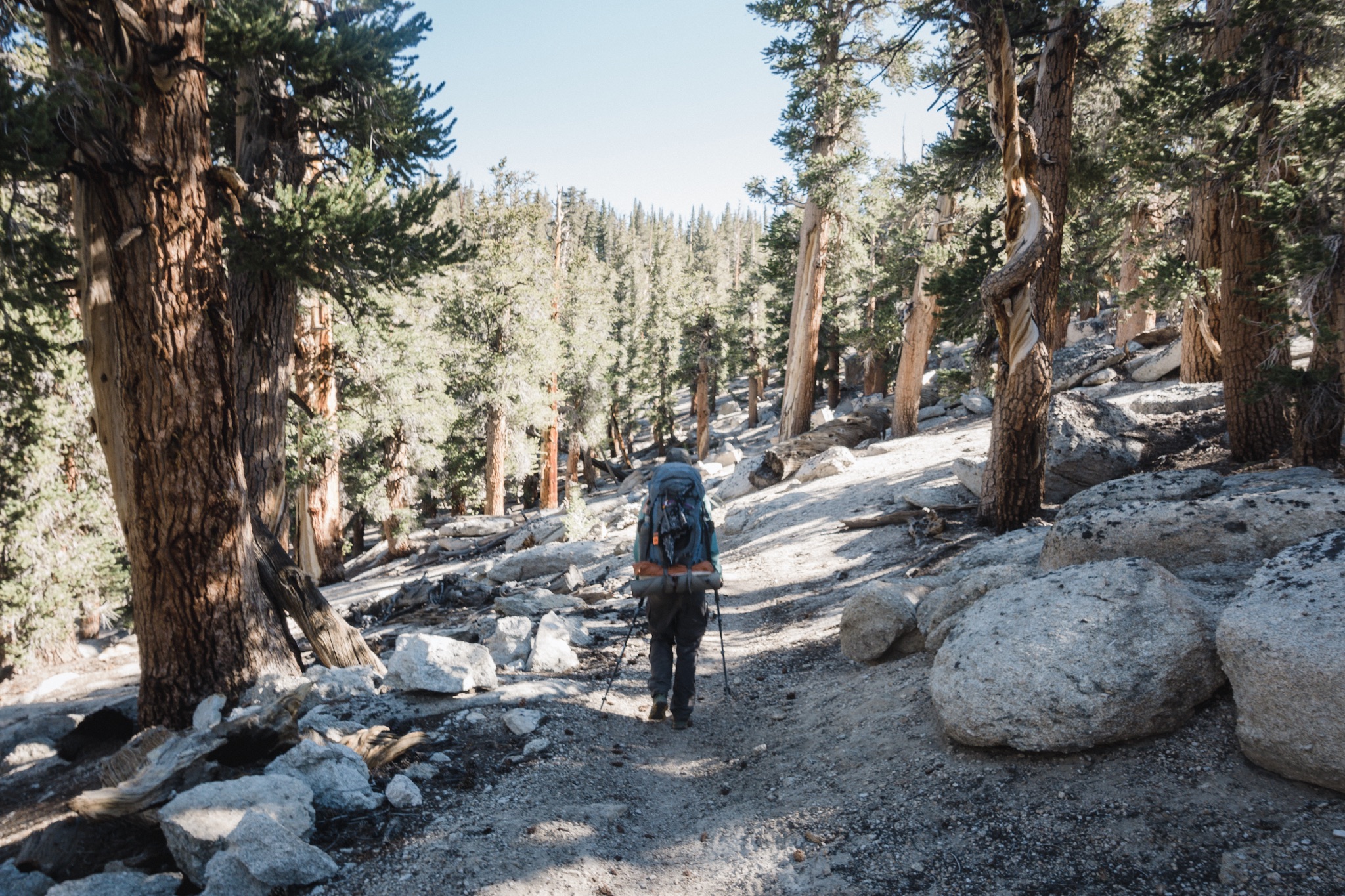
We all walked out of the camp in a long line with our headlamps on. The trail was at times hard to find in the dark as it was either on a plain rock and you couldn't see where it was going, or it was under snow or water.

Approaching Guitar Lake in the dusk.

Approaching Guitar Lake in the dusk.

Once we started approaching Guitar Lake we hit the snowfields and the microspikes came out. Up until this point the climb had been very gradual, we just climbed up from the valley. From here we'd get up on the rock face and start climbing the actual mountain.

All microspiked up.

All microspiked up.

As everything was covered in snow, we kind of made our own tracks, or followed old ones where the sun hadn't yet melted them away. We hit few interesting traverses but nothing too bad. I felt like I was pretty confident with my ice axe skills. 

Sunrise over Guitar Lake.

Sunrise over Guitar Lake.

After few hours of climbing the snow ended and we got on rock and sand and had to take off the microspikes. At times the snow and ice had completely blocked the switchbacks and we had to climb straight up on the rock and sand. This was a bit sketchy as it was on a steep climb and the surface was very loose. There were few rock slides and we had to be very careful not to be behind or under others when they were climbing.

IMG_1136.JPG
Early morning break.

Early morning break.

I soon got left behind as I was doing a video at the same time, and taking photos of others ahead of me, so I found myself climbing alone. It wasn't bad as I could see others ahead and the trail was clear. Otter and Flicker also caught up to me and soon passed me.

Hikers for perspective.

Hikers for perspective.

After a long climb the trail finally leveled up a bit and I was hoping we were about to reach the top. Oh how wrong I was. The trail moved sideways across three peaks, and behind them, far in the distance and up above us, I could see the summit. After all these hours of climbing and we were still so far?

Author traversing.

Author traversing.

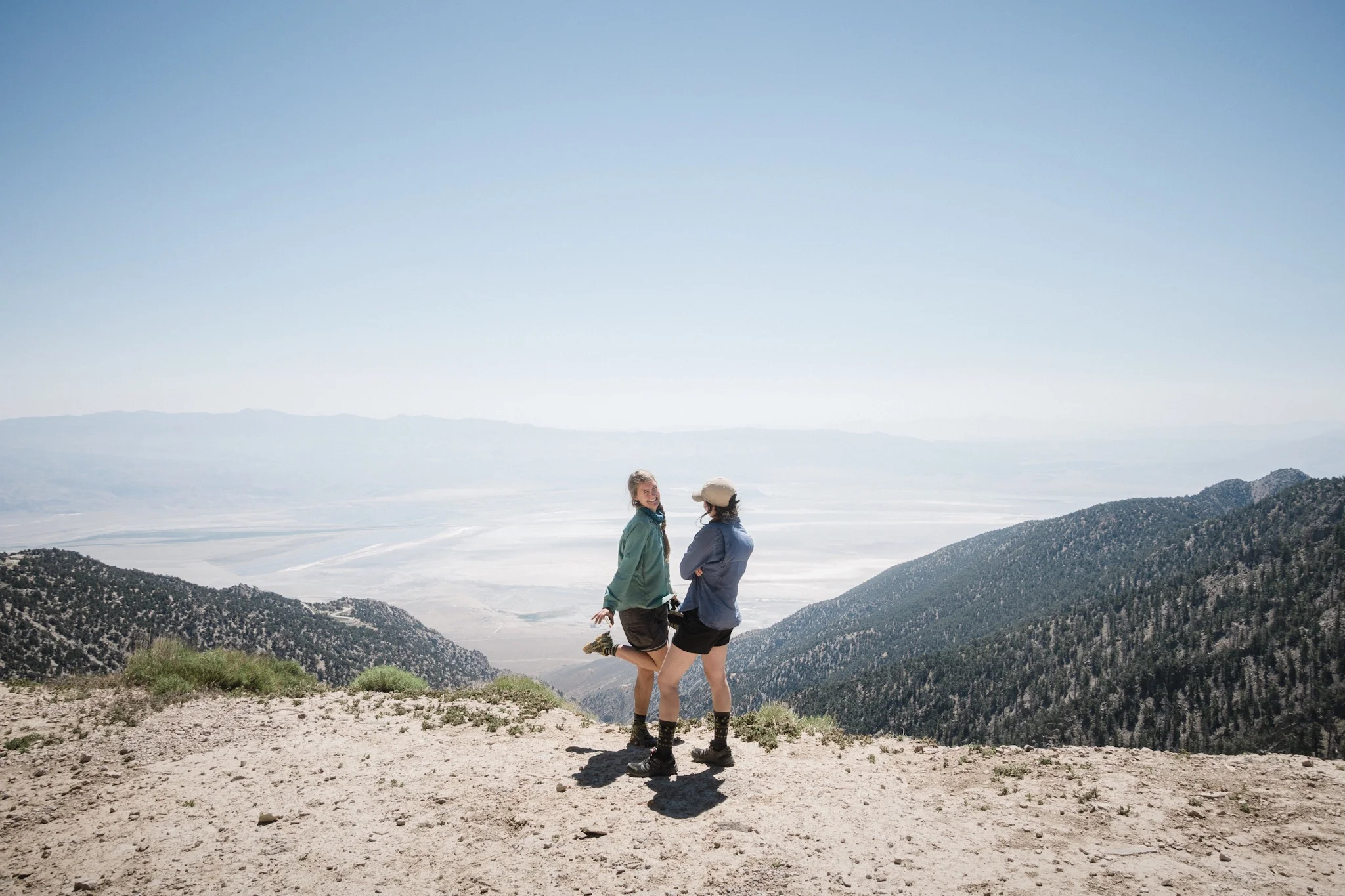
I took a small snack break to gain my motivation back and then continued. I caught up to Fyre and we crossed the three peaks while enjoying the views down to the valley floor far below us. I stayed back to take photos and use the cellular reception we had for a short while.

Switchbacks.

Switchbacks.

Flicker climbing loose rock.

Flicker climbing loose rock.

Climbing behind S&M, Fyre, and Fire Ant.

Climbing behind S&M, Fyre, and Fire Ant.

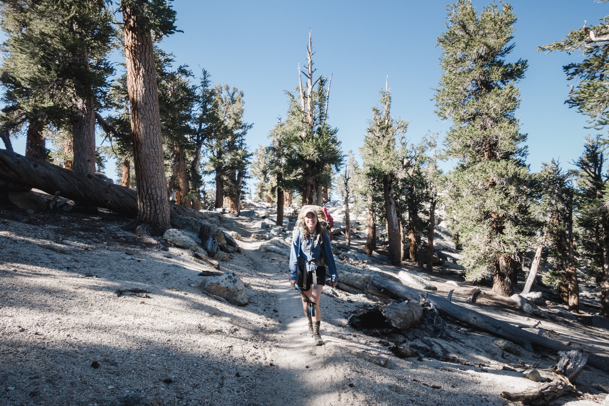
After crossing the peaks the trail again started climbing. My legs were hurting and I felt so out of breath. I had a new appreciation for those who actually climb high mountains, and decided that it was not for me.

Looking between peaks. Desert is visible far below.

Looking between peaks. Desert is visible far below.

Summit visible but blurry far in the distance.

Summit visible but blurry far in the distance.

At the bottom of the last push up to the summit I found Roadrunner and Fyre taking a break. We started pushing up together. As the switchbacks up to the summit were under snow, we had to climb up on rocks. Going straight up at this elevation was really tiring and we stopped to gather our breath like every ten steps.

Fyre doing the last push to the top.

Fyre doing the last push to the top.

Roadrunner waiting for us.

Roadrunner waiting for us.

Once we got to the top part, we only needed to do the last climb up to the summit. Once I finally saw the hut at the top I was so happy, almost there. I made the final push and met others who were sunbathing at the rocks at the top.

Made it!

Made it!

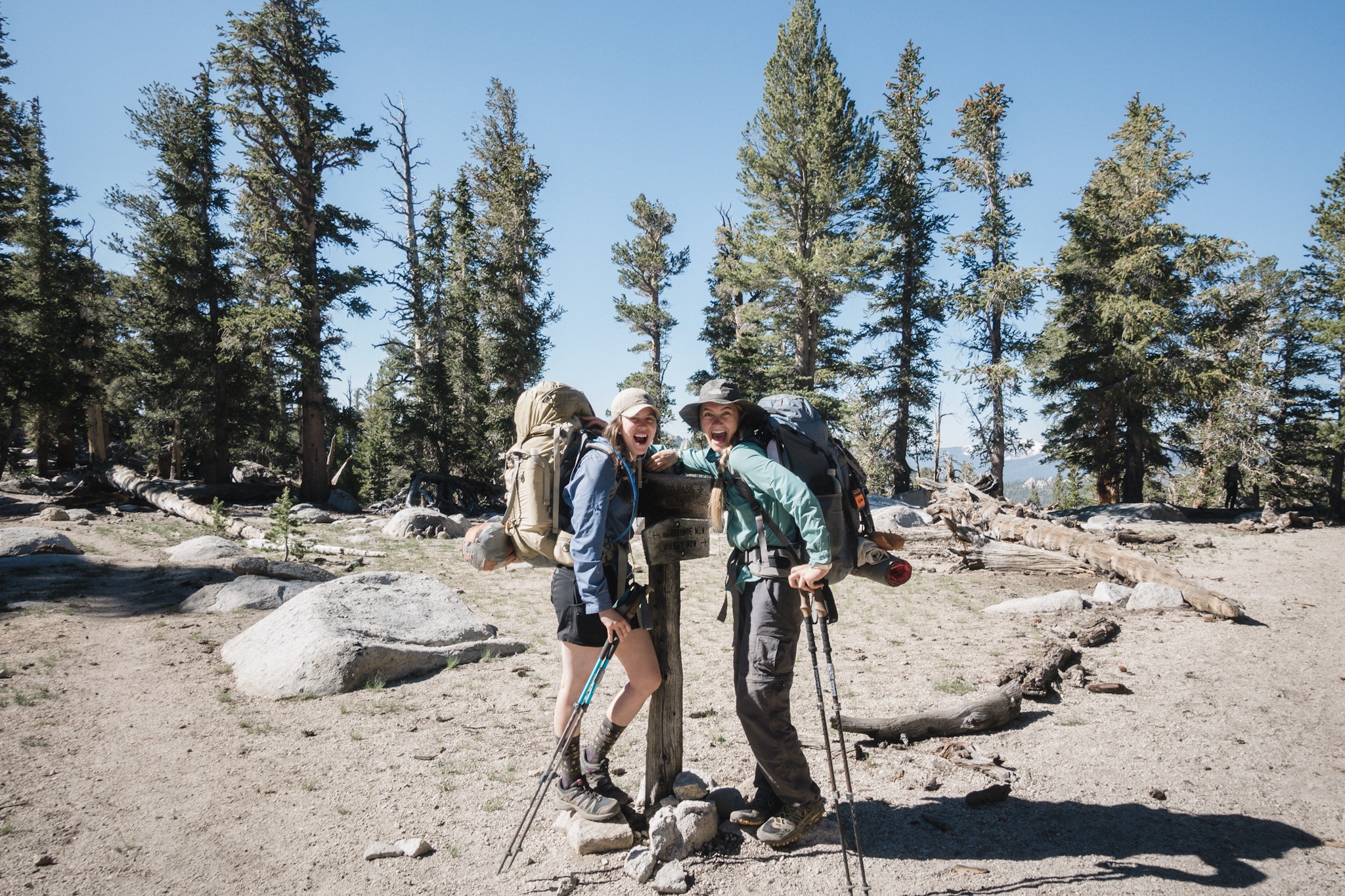
After a little celebration I opened the summit beer I brought up with me and sat down with the others. We spend few hours just chilling at the top, enjoying the views, and taking tons of photos. One of the rocks we took photos on was so sketchy. When you got on it, you were looking down on a huge drop straight down to the bottom of the mountain. I'm not a fan of high places so getting on it was quite interesting.

The mandatory summit group shot.

The mandatory summit group shot.

Fyre, Dandelion, KB, and Fire Ant being sassy.

Fyre, Dandelion, KB, and Fire Ant being sassy.

At the summit.

At the summit.

KB looking down from the Summit.

KB looking down from the Summit.

After all the photos, it was time to start heading down as it would still take us half a day to get back to camp. Everyone went on their own and I soon stayed back because I just had to stop and wonder the views. I couldn't believe we climbed up here, or that we were fortunate enough to be here looking at this gorgeous scenery. Even though I was tired I was smiling from ear to ear.

Fire Ant on the way down.

Fire Ant on the way down.

Once we reached the snowfields again, I saw few people doing a long glissade down the mountain side, and others practicing their self arresting technique at the bottom. After I did the glissade, I borrowed my ice axe to Fyre and headed to the camp. My eyes were hurting from the sun, and being on the snow made them hurt even more. I can't believe I was dumb enough to go up without my glacier glasses today.

Switchbacks at high places.

Switchbacks at high places.

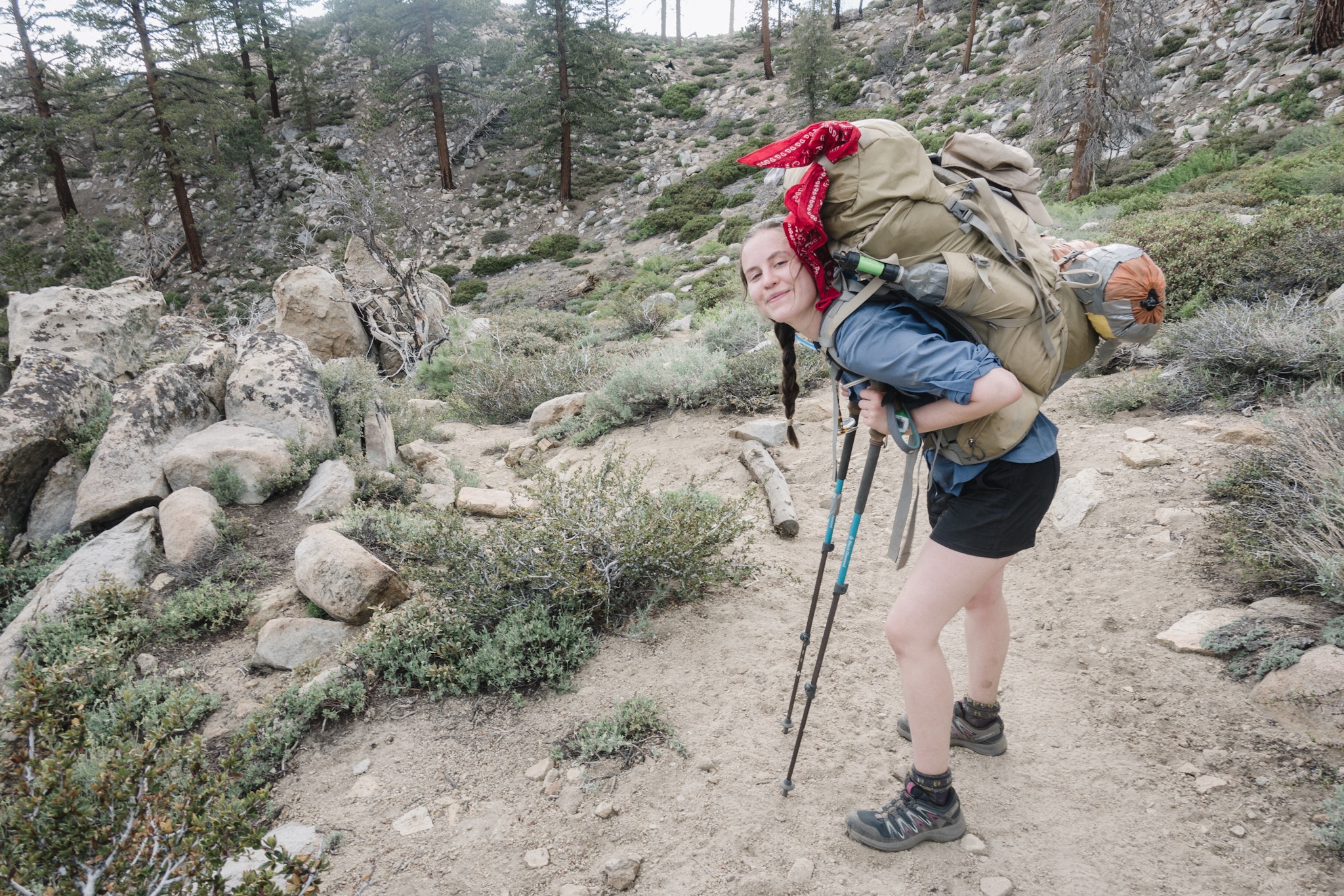
The last part back to the camp was a long one. We hiked it with Fire Ant and Dandelion and lost the trail at one point. We had to climb quite a few rocks and cross a stream to get back on the trail.

Once we got back to the camp I was so tired that I just collapsed to the ground. Others were eating around me but I couldn't muster enough energy to get my bear can so I just slept on my sleeping pad.

Looking down on the way back. Guitar Lake on the right.

Looking down on the way back. Guitar Lake on the right.

KB and the girls were continuing on to get few more miles out as they wanted to get closer to the river crossings and Forrester Pass tomorrow. I was so tired, and as I already had all my gear setup, that I didn't want to pack everything up only to hike few hours and then setup again.

I said goodbyes to the girls and promised to catch up to them the next day and then crawled inside my tarp and fell asleep. Today was a good day!

Day 54: Approaching Mt. Whitney

IMG_1086.JPG

Date: June 22, 2017
Miles: 16.9 miles (27.2km), from Chicken Springs Lake to Crabtree Meadow.
Health: Feeling good but tired. Three poorly slept nights and the elevation are making me tired.

My alarm went off at 4:50am. It was still windy outside and my tent was rocking. The wind whipped up after the sun went down and has been steadily blowing throughout the night. The temperature changes here are drastic and this causes winds to pick up every time the sun goes down.

I quickly setup my gear. It's funny how on the first days it took me so long to take down my camp. Now I can do it in less than 20 minutes.

I look over but none of the girls are up yet. I thought their alarm was set for 5am. I sit on my bear can and eat breakfast slowly. It's still quite cold.

Morning climb.

Morning climb.

Soon I see movement at the girls camp and I head over to get some of the foods I stored in KB's opsak. Soon we're on the trail.

At the river we see a note that Otter left us last night. She didn't know or see us at the lake as it's up from where the trail crosses the stream. She was headed few miles further from us, we should be able to catch up to her.

IMG_1084.JPG

The trail climbs first and then starts to drop down to a valley down below. I can see green meadow down where we're heading. We have to climb few snow banks but the snow is not bad. Only few times we lose the trail.

Compared to the desert there's water everywhere. There are big and small streams coming down and sometimes covering the whole trail.

IMG_1087.JPG

As I'm tired I soon fall into "the zone" where I just hike with not much attention on what's happening around me. The trail is easy but the elevation, we're at over 11,000 feet, makes breathing hard. I just concentrate on my feet and turn inwards, not even paying attention to what I'm listening on headphones.

Without realizing I'm at the half way marker. And there's a nice stream there. Time for second breakfast. As I'm stopping I notice Dandelion's there, with the same plan. Soon Fire Ant also joins us. KB and Fyre pass us as they want to break all the way down at the valley in a mile and a half.

IMG_1089.JPG

After eating we start heading down as well. I stay for a little longer as I need to filter more water. My Sawyer is starting to get slow and even back flushing it in Lone Pine did no good.

Down at the valley I see a note left by the rangers that the Rock River is impassable from elsewhere except up at the meadow or at the Ranger Station. Looking at the map, that would mean a long walk on a boggy meadow before getting back on trail. I choose to ignore the advice and decide to go down and see if I can find a spot where to cross.

Ranger note.

Ranger note.

As I get closer the river is indeed flowing hard and getting over seems unlikely. I walk downstream until I see a marker on the trail that says "Log" and an arrow pointing to the right. I follow the arrow and find an log that's going cross the river high up. It looks a little sketchy as falling to the raging river from that high would not end well.

Little upstream I see two logs down in the water but they are wet and look slippery. I can't find any other points to cross. I hate wet logs so I choose to get on the one high above the stream. I take out my other trekking pole for extra support.

Log crossing.

Log crossing.

The log feels super sketchy but stable. I don't like heights or balancing so this is definitely out of my comfort zone. I get on the log and slowly start to get across trying to avoid looking and thinking at the river down below. I get across safely. Definitely got my heart rate up.

Little down stream I find the girls drying their shoes. KB and Fyre crossed the stream up at the meadow and Fire Ant and Dandelion at the wet logs.

IMG_1088.JPG

We take a small break and then someone looks at the elevation profile for our next section. It looks like we're going straight up. Ugh. We start slowly climbing.

When you're the blue dot at the bottom.

When you're the blue dot at the bottom.

At one point we come across Dragon and Andrew. They are heading back to Lone Pine and flip-flopping north. Dragon felt that the river crossings ahead were too much for her. It takes a lot of guts to listen to your instincts and turn back, I really admire her decision. You should never do anything out here you're not comfortable doing. They wish us luck and we continue.

Whitney Creek.

Whitney Creek.

Soon we reach the Whitney junction and cross our third and last river. This one is wide but slow moving. It feels great to get to swim a little after a long hot day.

After a small pause to dry up our gear we continue to the campsite where we head out to summit Mt. Whitney tomorrow. It's all uphill and my legs are already tired. We see the top of Mt. Whitney and it looks intimidating. I keep thinking "we're climbing THAT tomorrow?".

We reach the camp and formulate the plan for tomorrow. Instead of trying to make the summit before sunrise, we decide to get some sleep and wake up at 3:30am and start climbing at 4am. It takes about five and a half to six hours to go up, and about four to get down. It's going to be a long day. I need some sleep.

As we're going to sleep a thunder storm sweeps over us and we get the second rain on PCT. It's great laying inside my shelter and listening to the rain drops. I can barely keep my eyes open. Tomorrow's going to be so much fun!

Day 53: Out of Lone Pine to Chicken Spring Lake

IMG_1062.JPG

Date: June 21, 2017
Miles: 2.5 miles (4km) from Horseshoe Meadow back to PCT + 5.6 miles (9km) from Trail Pass to Chicken Spring Lake.
Health: Feel tired and on the last mile my left shin started hurting.

We sleep in late but I slept poorly as the AC was pointed directly at my head. Weird placement for a bed. The girls start making oatmeal with their stoves and Camp Counselor and I joke around that we should rename Poison Ivy as Oatmeal as she's obsessed with it. She doesn't object.

IMG_1075.JPG

As we're eating our breakfast we read about the sixth drowning in the Sierra this year. As all the snow starts to melt with the heatwave, the rivers are getting huge and dangerous. The trail rumors we keep hearing swing from "doable" to "impassable".

Our plan is to get off at the Kearsarge Pass and go down to Bishop. We don't have any big river crossings on that section, but we get to see the snow, summit Mt. Whitney, and see what the conditions are like. And also how fast we are able to move up there. Time is starting to be an issue as we still have over 1,500 miles to cover after the Sierra. If we move too slow, we need to get out and flip-flop to have enough time to finish the trail before winter hits us up north.

IMG_1077.JPG

The girls work on their plans as they were only section hiking and this is where their hike ends. It's a shame we didn't meet earlier and that they aren't doing the Sierra.

After morning tasks the girls head out to do laundry and I need to go to Post Office to pickup my old backpack. I'm doing a backpack shuffle and I need to switch back to my MLD Prophet for the heavier Sierra carries. I ship my Pa'lante Pack onwards to Bishop which is our next resupply stop.

IMG_1076.JPG

Many people have skipped ahead from Bishop due to the dangerous river crossings and the snow. By shipping my Pa'lante Pack, I can either switch back to it if we decide to skip, or just bounce it forwards on the trail. You can bounce a box for free for six times. This comes handy when dealing with the logistics on the trail.

On my way to Post Office I get a message from Blü, he's in town and heading out with us. Yeah! He was in Bishop yesterday so I though he just skipped there. I have two packages in the Post Office, but I bounce the one I shipped from Kennedy Meadows to Bishop, and switch the backpacks in the second box and ship that to Bishop as well.

As I'm at the Post Office, KB, Fyre, Dandelion, and Fire Ant show up. They are also shipping packages to Bishop and some to home.

IMG_1078.JPG

We're heading out soon but I still need to do my resupply. I can't do that when I'm hungry so I head to the Subway for a quick breakfast. At the grocery store I do the usual back and forth between shelves, trying to find calorie rich light foods that I want to eat. I hate doing resupplies as I never find anything good to eat. Then at the trail everyone who resupplied from the same store seems to have all these delicious foods to eat.

I just stuff my basket full of same old stuff I've always eaten but add the crackers Blü always eats, and the salty fishes KB loves. I can use them to bribe her on the trail if the need ever comes up. I weight the basket with my hand, feels heavy, should be good for five days. I hope.

Our hotel.

Our hotel.

The girls are already at the hotel and I start to stuff my food to the bear canister. It should fit seven days of food but I barely fit five days. Ugh. My backpack is so heavy. With all the extra snow gear (ice axe and microspikes), warmer clothing, the bear can, and the summit beer for Whitney, this is the heaviest my pack has been on the trail so far.

As we leave, we take the leftover beers from last night to Rocky and Puppy. They are staying in the hotel for extra night so they can enjoy the beverages that we can't take on the trail.

IMG_1073.JPG

We check-out and then join the rest of the crew behind the Air Streamer/Outfitter on the Main Street. This is the best place to hitch out of town as it leads to the road up to the Trail Pass. The town of Lone Pine is at 3,400 feet, whereas the Trail Pass is at over 10,000 feet, so it's quite a climb up the mountain.

I say goodbye to Katie (Camp Counselor) and Natalie (Poison Ivy) as our paths separate here. We get back on the PCT and they take few trips before they head back home.

IMG_1072.JPG

We hitch in the shade of a tree as the 40 degree (39c) weather is too hot to be in the sun. Thankfully the elevation gain means it won't be this hot up at the Trail Pass or on the trail.

Dandelion and Fyre catch the first ride up. They're going up with a trail angel who already has two other hikers in her car. Ten minutes later KB, Fire Ant, and I catch a ride up too.

IMG_1069.JPG

It's a long way up, and the elevation and steep grade of the road means we're going really slow. On the way up we see smoke rising from the side of the mountain range. Fire? We watch as the fire spreads wider as we drive up. We wonder if this is going to block our hike as it's between where we start and Mt. Whitney, where we're heading. We hike on the other side of the range though so it should not be an issue.

IMG_1067.JPG

Once at the Trail Pass I eat the leftover Subway sandwich and camel up on water and then head out towards Horseshoe Meadow with KB and Fire Ant. From Horseshoe Meadow we start our climb back up to the PCT.

My pack feels so heavy as we climb. Luckily we don't have to carry much water as it's plentiful now with all the snowmelt.

IMG_1074.JPG

At the top, back on the PCT, we meet an older gentleman with his two dogs. We take the opportunity to have some four legged love and take a pause to play with the puppies. Meeting trail puppies is always so much fun.

Puppies!

Puppies!

After the pause we shoulder our packs and rejoin the PCT again. We're only doing a short hike to get to Chicken Springs Lake for the night. It's supposed to be a beautiful spot between the mountains and it takes us closer to our Mt. Whitney summiting in two days.

IMG_1064.JPG

As we climb above 11,000 feet my breathing becomes harder. This is the highest we been on the trail and it's completely new to my poor lungs. I have to slow down. KB goes on and we hike for a while with Fire Ant. We cross streams and beautiful alpine meadows. The scenery is so different from what the first part of the trail was.

Horseshoe Meadow.

Horseshoe Meadow.

Fire Ant and Sierra snow.

Fire Ant and Sierra snow.

I'm not feeling the hike today. The poorly slept past two nights and the elevation make me a grumpy hiker. I slow don't to a crawling speed and then suddenly I feel a familiar pain on my shin. But this time on the left shin.

I stop to put on the shin guard on my left leg and curse out loud. I'm fairly certain that my shin problems are caused by my shoes. I make a mental note to get rid of the Altra's as I get to Bishop. It's a larger town and they should have a better outfitter with shoes.

Girls camp at Chicken Spring Lake.

Girls camp at Chicken Spring Lake.

I carefully step the last miles to the Chicken Spring Lake not to irritate the shin anymore. I keep cursing my luck. At the lake I find all the girls and the view is absolutely amazing. The lake is perched between two large mountain tops and still half covered in ice. I sit down next to the girls and dig out my dinner from the bear can. My hurting shin takes all my energy and I can barely enjoy the scenery.

IMG_1068.JPG

After dinner I quickly setup my shelter and get in it to end this day. Hopefully I get a good nights sleep and my leg would feel better tomorrow. I'm in my sleeping bag two hours before hiker midnight.

Damn you legs!

Day 52: Lone Pine

IMG_1051.JPG

Date: June 20, 2017
Miles: 3.5 miles (5.6km) plus hiking down to Horseshoe Meadow.
Health: One of my toes is not getting along with the Altra's. Otherwise feeling great.

I slept poorly last night. The mosquitoes and the warm night made cowboy camping hard and around midnight I had enough. I needed to get out of my sleeping bag but not being eaten by mosquitoes so I just quickly put on my headlamp and threw up my shelter. I used the red light not to wake up the girls sleeping close to me.

IMG_1061.JPG

It took me two minutes to haphazardly set up the tarp and just throwing my sleeping gear inside. That's better. I could cool outside my sleeping bag and be protected from the mosquitoes. They weren't that bad but just enough to not want to sleep outside of my bag.

IMG_1058.JPG

We wake up slowly and get our gear together. We don't have to walk too far today as we're going in to Lone Pine today. Today is Katie's and Natalie's last day on trail but we get to hang in Lone Pine for a day.

IMG_1055.JPG

We quickly hike the few miles to Trail Pass from where we descend down to the trailhead. The trail drops down quite a way so it's a steep climb. Once down we cross Horseshoe Meadow and then get to the trailhead.

IMG_1056.JPG

It's not morning anymore and there aren't that many cars coming in, but it's still too early for day hikers to leave to give us a ride down to Lone Pine. We wait a good while to no avail.

IMG_1060.JPG
IMG_1057.JPG
Horseshoe Meadows.

Horseshoe Meadows.

I try to talk to the few people we see at the trailhead but none are going to town today. There's a small road close by so I take my backpack and decide to hike there to see if I could get us a ride from there.

IMG_1053.JPG
Temperature in shade.

Temperature in shade.

As I get halfway through the parking lot a car passes me and I see familiar faces inside. The car stops next to me and it's a trail angel giving rides to and from Lone Pine. They take us aboard and soon we're heading down to Lone Pine. It's almost 30 mile drive down and the elevation drops from high in the mountains down to the valley floor. As we drop the temperature keeps rising and reaches 100 degrees (39c) at the valley floor.

Breakfast appetizers.

Breakfast appetizers.

Once in Lone Pine we get some breakfast and then a hotel room. We're all quite beat so instead of going out to eat we decide to have a nice picnic at our room.

I go out to check out the outfitters as I need to get a baselayer for the Sierra as I didn't send one with my Kennedy Meadows resupply. I buy a Montbell UL merino baselayer and I couldn't be happier. The price is great and the total weight is really light.

Cooler.

Cooler.

Then I head out to get my hair cut in a barbershop and to get some drinks for our picnic. I buy different beers, white wine, and ice. The girls go out and buy an awesome vegetarian setup. I'm happy to eat something healthy for a change.

Picnic.

Picnic.

We spend the rest of the evening drinking, eating, and talking. Before we know it, it's late and we need to get to sleep. Although I've had tons of fun, I also feel sad as I know that I have to say goodbye to Katie and Natalie tomorrow. I keep wishing I would've met them earlier on the trail so I could've spend more time with them.

Day 51: First sight of Sierra snow

IMG_1045.JPG

Date: June 19, 2017
Miles: 17.6 miles (28.3km), from mile 724.2 to mile 741.8.
Health: Walking feels great but the Altra's are hurting one of my toes. Need to find a solution for that.

Everyone wakes up after 5am and we quickly break down our camp. This was my first time sleeping at 10,000 feet (3km) and it was great. The night was actually so warm that at one point I had to wake up and remove clothing.

Camp Counselor and Poison Ivy stay back to eat breakfast while others head out. We're going down for a while so it's going to be an easy morning.

Morning on trail.

Morning on trail.

The views are amazing and we can see the Sierra range and snow topped mountains not far away. That's where we're going. I'm actually really excited about getting on snow.

I was last from our group to leave the camp and I catch Fyre down at the first water source, about 5 miles (8km) down from our camp. We dry camped, and I didn't want to carry too much water to the top of the mountain, so I was already getting a bit thirsty.

My new Pa'lante Pack with bear canister.

My new Pa'lante Pack with bear canister.

I fill up about a liter, camel up a second liter, and then head after Fyre. Others are little ahead. I soon catch up to Fyre again but nature calls and I have to go dig a hole in the woods. Had a beautiful view this morning for hole digging.

Back on the trail I soon catch up to Fyre again as I'm always almost running downhill. She lets me pass and I continue on while listening to the best of Backstreet Boys. Great hiking music!

Fire Ant.

Fire Ant.

After a while I catch Fire Ant and as the trail levels up we hike at the same pace. We cross an absolutely gorgeous meadow and stay there for a while to wonder at the beauty of our surroundings. After some up and downs we get to the next water source where Sunshine and Dandelion are already waiting and having the second breakfast. Fyre soon joins too.

Alpine meadows.

Alpine meadows.

We eat and play with our bear canisters. While I don't really like the canister, it makes for a handy stool to sit on. Camp Counselor and Poison Ivy catch up to us too. We talk about food, which seems to be one of the most common conversation topics on the trail. We talk about what we want to eat when we get to next town, what to put on our next resupply, being vegan, trail foods we like and dislike, what we want to eat after we're done with the PCT, and so on.

Sadly we have to move on as the trail calls. From here we climb over 1,600 feet of elevation back to 10,000 feet. It's not that much but the sun is already out at full force, and everyone still feels tired from yesterday's climb.

IMG_1037.JPG

Others go first and I leave with Camp Counselor and Poison Ivy. They're only section hiking and ending their hike in Lone Pine so I want to spend as much time with them as possible. They both leave a little bit before me but head out on the wrong trail. I yell after them and soon we're all on the right trail and climbing up a mountain under a burning sun.

I love these tree trunks here.

I love these tree trunks here.

We pass Fyre at one point and she's having difficulties breathing. She assures us she's ok and we continue. It's the elevation. I'm having surprisingly little trouble with the elevation, especially considering how hard San Jacinto was for me.

Fire Ant climbing.

Fire Ant climbing.

The girls decide that they need a break and stop for a siesta. I need to continue as I want to make it to Lone Pine before the night to meet Blis and it's a little over 21 mile hike.

After more climbing I reach the top where I find the others taking a nap. There's also cell reception so I manage to call home and tell my parents I'm ok. I also receive a large number of messages asking if I'm ok and why my blog hasn't been updated for a while. It's hard when you often don't have connection and free time at the same time.

Break at the top.

Break at the top.

I try to upload new posts but the network is so slow that I can't get anything online. I waste two hours and most of my phones charge trying to update my site.

Gear malfunction.

Gear malfunction.

There's some snow on the top and we play with Fire Ant and practice self arresting with my ice axe. It's so much fun to play in the snow.

I'm so tired that instead of hiking on, I stay with the girls at the top of the mountain and siesta for few hours. But soon it's time to start moving again.

Naptime!

Naptime!

We hike on and I start to feel really tired. I stay back constantly and only catch up to KB, Dandelion, and Fire Ant at the bottom of the mountain, while they stop to get more water from the river. Fyre catches with us too.

IMG_1047.JPG

I don't feel like hiking on, and knowing that this is where Katie and Natalie had planned to stop, I stay back as the girls head on. I set my pad against a rock where I can see the trail and also the view from the mountain.

Watching the sunset.

Watching the sunset.

Not long after the girls have gone on, I see big thunder cloud appear around the mountain and going towards where the girls just headed. I watch and wonder at the thunder and lightning as the cloud passes me by.

Sunset.

Sunset.

After a while I see Katie and Natalie appear down the trail. We look at the sunset for a while and then go set up our camp. I set up cowboy style and the girls set up their tent. They're having some trouble with their inner net zippers.

IMG_1038.JPG

We talk long into the night, watching the stars. As the girls fall asleep, I try to sleep as well but the mosquitoes keep me awake. I try to fall asleep but the pesky bastards wake me up every time I almost fall asleep.

I get tired with the mosquitoes and quickly get up and set my tarp up. I get in and soon fall asleep.

Day 50: First taste of Sierra

IMG_1031.JPG

Date: June 18, 2017
Miles: 14.7 miles (23.7km), from mile 709.5 to mile 724.2.
Health: Feeling great. Legs tired from the long climb.

We woke up at 4:30am. The sun wasn't up yet but the air was still warm. Camp Counselor and Poison Ivy were already up but I wasted few minutes in my sleeping bag. Night hiking and early mornings are not a good combination.

The girls left the camp soon and I stayed back. I still needed to get water from the creek close by. Soon I was back on the trail.

The trail kept climbing out of a valley and the views were amazing. I was so happy for the change of scenery.

Soon I caught up with the girls and Crumbs as they were eating breakfast next to the trail. Although I had already eaten while hiking, I stopped, happy for their company. Also, I was in no hurry today.

After a leisurely breakfast we got back on the trail. Soon the grade turned steeper and we really had to climb. Luckily the water was plentiful today, so that made our packs a little lighter.

Climbing with Katie.

Climbing with Katie.

I hiked on with Katie (Camp Counselor) and soon we were just the two of us. While climbing I noticed that her hiking style was very energy consuming so I offered to teach her about the "thru-hiker shuffle". As we hiked on I told her about the why's and how's of the shuffle and soon she was easily keeping up with my pace. It was great seeing her go from slow, energy consuming "regular style" to the shuffle, and seeing her get the "wow!" reaction when she nailed it down.

Different views.

Different views.

Soon I was able to speed up and we made nice progress shuffling down the trail. After the climb we hiked a bit in a forest and then reached a large meadow between mountains. The views were just amazing. With snow topped mountains at the far end, a river running through the middle, it was like one of those movie meadows. We hiked on with huge smiles on our faces.

It was fun having a new hiking partner. That means you get new, interesting topics to talk about. We talked about relationships, life, and Iron Maiden.

IMG_1020.JPG

The miles went fast and soon we reached another meadow. As we got down to the river we saw a large bridge crossing the river. Coming from the desert, and suddenly being on a green meadow with a large, flowing river, and surrounded by magnificent mountains, was just epic.

A bridge over the Kern River.

A bridge over the Kern River.

Even though it was still early, the spot was so beautiful that we simply couldn't pass by. We put our packs in the shade and started to look around. There was a huge flock of swallows flying around the bridge, going in every direction. As we stood on the bridge, the swallows just flew all around us and under the bridge, to feed their little ones. We felt like we had arrived to a magical place.

IMG_1019.JPG
Getting water.

Getting water.

Soon Poison Ivy joined us as well. There was a large sandbank on the river and we went to investigate it. We walked up and down the sandbank, playing with mud and enjoying the nice cold water. We also found two large rocks that you could sit between and have the stream flow over you.

Others started to arrive as well and almost everyone stopped to siesta on this gorgeous spot. The riverside was soon full of hikers enjoying the plentiful water and the end of the desert.

Hikers in the shade by the river.

Hikers in the shade by the river.

Nothing can last forever so after an extremely long siesta we started to head out. We had a huge climb ahead of us. We were climbing to over 10,000 feet (3,048m) today. Although the air wasn't as hot here as in the desert, it was still hot.

Katie, Natalie, and I.

Katie, Natalie, and I.

On the way out I taught Natalie (Poison Ivy) the thru-hiker shuffle as well and now all three of us were moving fast.

IMG_1028.JPG
IMG_1024.JPG

The climb was long. I hiked with Natalie and between trying to catch our breath from the climb, we had long discussions. I really like hiking with her and I hate that she and Camp Counselor have to leave the trail so soon (they're only section hiking to Lone Pine).

Natalie.

Natalie.

We had to take a ton of breaks as the climb was just never ending and steep. Although my legs were screaming from pain, I still enjoyed every moment. I feel like if I can do the Sierra and all the climbing, I'm going to be a monster of a hiker and the rest of the trail is going to be "easy".

Katie taking a drawing break.

Katie taking a drawing break.

At around 9,000 feet we started seeing snow and the mosquitoes appeared. I remember that I accidentally packed my repellent in the package going to Lone Pine. Great!

IMG_1027.JPG

At the water source the mosquitoes are trying to eat my legs so I have to continue. Natalie stays back and I hike on with Katie. We keep climbing and start seeing more and more snow.

IMG_1026.JPG

We've climbed for hours now and it's starting to get dark. If we want to camp after the pass, we're going to get there after dark.

We break out of the trees and see a large meadow, and at the end of the meadow we see the pass. At least we hope it's there. I check the Guthooks app and that's the pass, not far away.

Last climb towards the pass.

Last climb towards the pass.

As we finally reach the pass we see KB, Fyre, Dandelion, and Fire Ant already camping there. That's perfect as I'm not sure how much further I would have managed to hike. Soon Natalie also comes to camp.

IMG_1030.JPG

As the mosquitoes are out in force, we set up our tents and it's soon a small tent city. We eat and share trail stories. The girls break out into a song again.

I look around and realize that it's just me and six girls, camping on a top of a mountain, looking at the sunset and the snow capped mountains of the Sierra. Life is pretty good right now!

IMG_1029.JPG

Day 49: Goodbye desert, hello Sierra!

IMG_1002.JPG

Date: June 17, 2017
Miles: 7.3 miles (11.7km), from Kennedy Meadows to mile 709.5.
Health: Feeling great except the heat is really getting to me. Can't wait to get to higher elevation and into cooler weather.

I try to sleep late but I'm woken up by the sun around 7am. While sleeping next to Camp Counselor and Poison Ivy, at the far end of the campground, was great for being far away from all the noice from the bonfire, it meant we were outside of the small forest and not protected from the early morning sun.

I try to find some way to still sleep but the sun doesn't seem to care about my sleep and I have to get up before I get toasted in my sleeping bag. I haphazardly put all my things together and carry them back to the grocery store. I have to go through all my gear and resupply boxes today for the Sierra.

Grumpy Bears.

Grumpy Bears.

Before all that I need a breakfast. I miss the shuttle that Sunshine and others take to Grumpy Bears but I hop on to the next one.

Grumpy Bears is a small restaurant about three miles from the Grocery store and they serve early morning breakfast and all-you-can-eat pancakes. There's a shuttle (read: a pickup truck) that takes hikers back and forth.

Once I and about a dozen other hungry hikers reach Grumpy's, we get in line and make our orders. The service matches the name, but in a charming way. I'm trying to order my breakfast with extra bacon but I'm basically told it's not going to happen. No please's or thank-you's here.

IMG_1011.JPG

I find my spot on the table with the others and we play a game of Uno. We get halfway through the game when the first of our pancakes start to arrive. The pancake, that's singular, is absolutely massive. I drink my chocolate milkshake while I watch others struggle with their massive pancakes. Breakfast milkshake is always a great choice!

A pancake.

A pancake.

Then the rest of our breakfast starts to appear and Dandelion and I happily help all the vegans in our group to get rid of their bacon. I'm glad I didn't get to order the extra bacon.

After the breakfast Sunshine, Fire-ant, and I visit the Triple Crown Outfitters next door. Partly because we want to check out their selection, and partly because we really want to meet Yogi, the owner of the store. She's a triple crown long distance hiker and famous for her PCT handbooks. 

After a quick visit to her store we end up waiting for over 40 minutes for the next shuttle back. It's too hot to be outside.

Once back at the grocery store, it's time to go through my resupply package. I've already forgotten what I had prepared for myself a month and a half ago.

IMG_0999.JPG

I find a good, shaded spot on the terrace and start going through the package. Lots of snacks, ice axe, microspikes, ziplock bags. But I can't find my base layer. What have I done with it? I even called Mikko about a week ago to check that I wasn't accidentally stupid enough to leave it out of the Sierra package.

Also, no meals, only snacks. I forgot to tell Mikko to take the meals out from the fridge where I stashed them before leaving. Me and my memory.

IMG_1007.JPG

But not having the meals is actually a good thing because my, or our, Sierra plan has changed with the snow. We're now going to Lone Pine, which is only three days away. That means I don't need as much food as I originally had planned to ship here. And now I'm shipping all the extra food to Lone Pine so I'm saving money not having to ship a ton of food.

IMG_1005.JPG
KM General Store.

KM General Store.

I fill the bear can with three days worth of snacks, then fill the empty space with my other gear. Fitting the bear can in my 40 liter pack is going to be interesting.

After I have my gear sorted out, I ship the rest to Lone Pine and pack my backpack. Everything fits barely. I can make it to Lone Pine by stuffing other gear to the bear can, but from Lone Pine onwards the food carriages are going to be bigger. I need to switch back to my 48 liter MLD Prophet.

Momma Otter and Otter.

Momma Otter and Otter.

Poison Ivy and Camp Counselor leave as they want to hike 8 miles out of Kennedy Meadows to a good camping spot. I stay behind with our tramily and we sit in the shade, drink beers and sodas, and enjoy resting.

We have no clear plan on how to hike from here on out. I feel like I want to do some miles today so I plan to catch up to Camp Counselor and Poison Ivy. Others plan to hike just 2 miles to the nearest campground.

What happens when I ask everyone to act naturally.

What happens when I ask everyone to act naturally.

It's getting late, which is good for getting to hike in a cooler weather. It's starting to look like no one is leaving, but I want to get back on the trail, so I leave alone. I'll do the 8 miles in few hours and meet the others tomorrow.

I hike the road walk back to the trail and start hiking as the sun is setting. The views are magnificent. I'm walking on a meadow between two mountain ranges, watching the sun set. The air is nice and cool and sparrows are flying around me.

Out of Kennedy Meadows.

Out of Kennedy Meadows.

On the way I pass two campgrounds and then it gets dark. I switch on my headlamp and pass a third campground. These are actual campgrounds, with spots for cars and so on. I see many bonfires and people car camping.

After the third campground the trail swirls up to a forest and starts to climb. I listen to music and hike with a good pace. This is so fun!

As the night gets darker, all the animals start to appear. I see tens of scorpions, spiders, and other creatures. At one point I turn my headlamp up to the right of me and see a pair of eyes staring at me. They follow me for a while and I pump up the power on my headlamp. A coyote. We stare at each other for a while and then she turns and disappears back in to the trees. I see her, or some of her friends, few more times during the hike.

Met these two on trail.

Met these two on trail.

At one point the trail takes a sharp turn left and crosses a river. At that turn I see many tents as people are camping there. As I leave the camp behind me on the other side of the river, I hear a dog starting to bark at the camp. Must be the coyotes following me that startled him.

I'm in such a good hiking mood that I soon notice I'm almost done with the 7.3 miles to the campground where the girls were planning to stay. Wonder if they are there.

Nighthiking.

Nighthiking.

As I approach the spot I see their tent and switch my headlamp to a low power. I try not to wake them up but as I get closer, they both wake up. They were sleeping softly as they had seen eyes around the campground. Must be the coyotes.

I setup cowboy camp next to their tent and quickly fall asleep. It's good to be hiking again and out of the desert!