Day 63: On-trail Nero

Date: July 1, 2017
Miles: 5.6 miles (9km), from mile 828.5 to mile 834.1.
Health: Tired.
Hero image taken by DG . Check out his Instagram for more great shots!
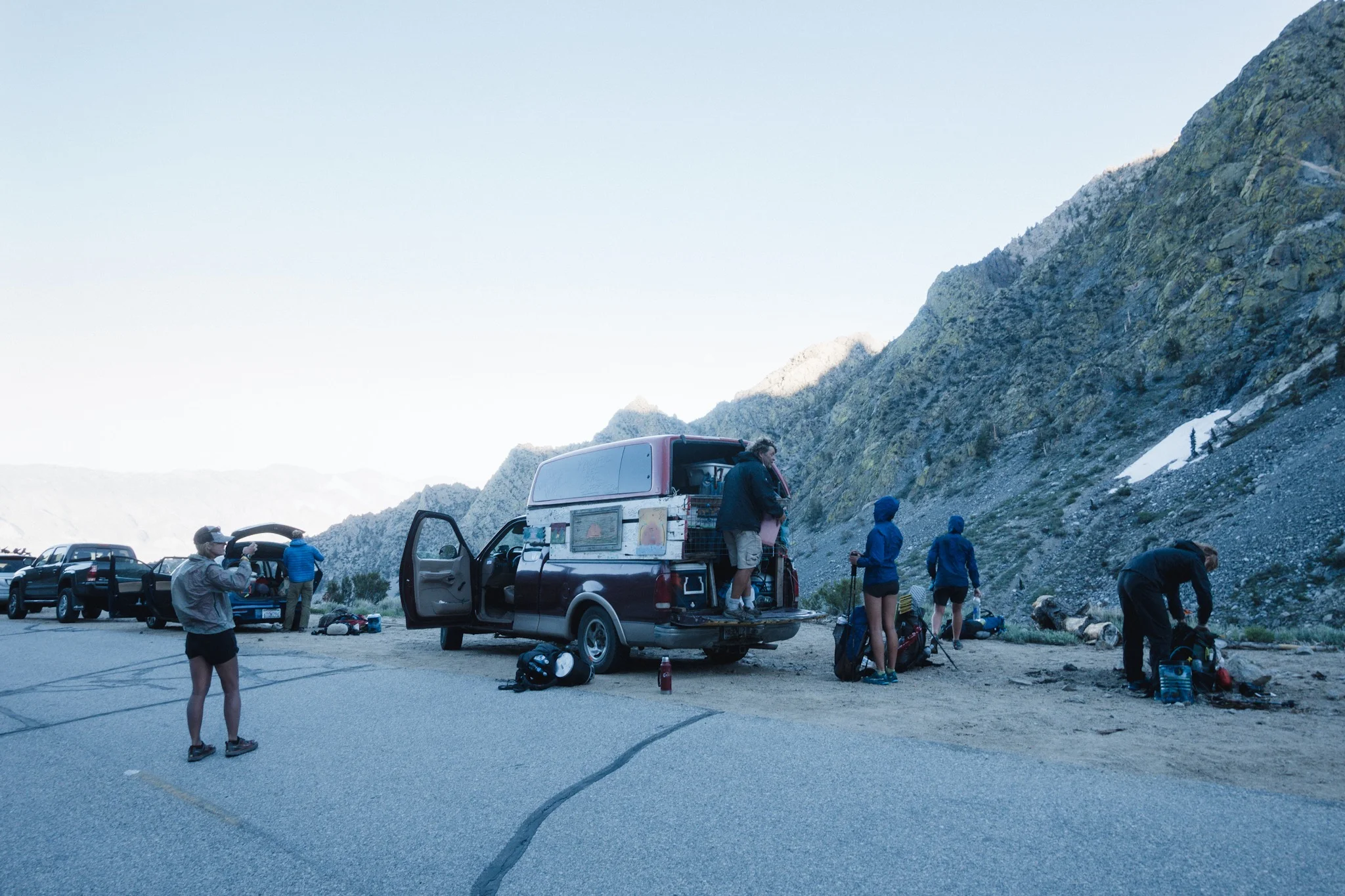
I slept like a rock. I wake up to my alarm and snooze it couple of times. Then I hear Topo asking if I'm up. I reply yes and start putting my things in order.

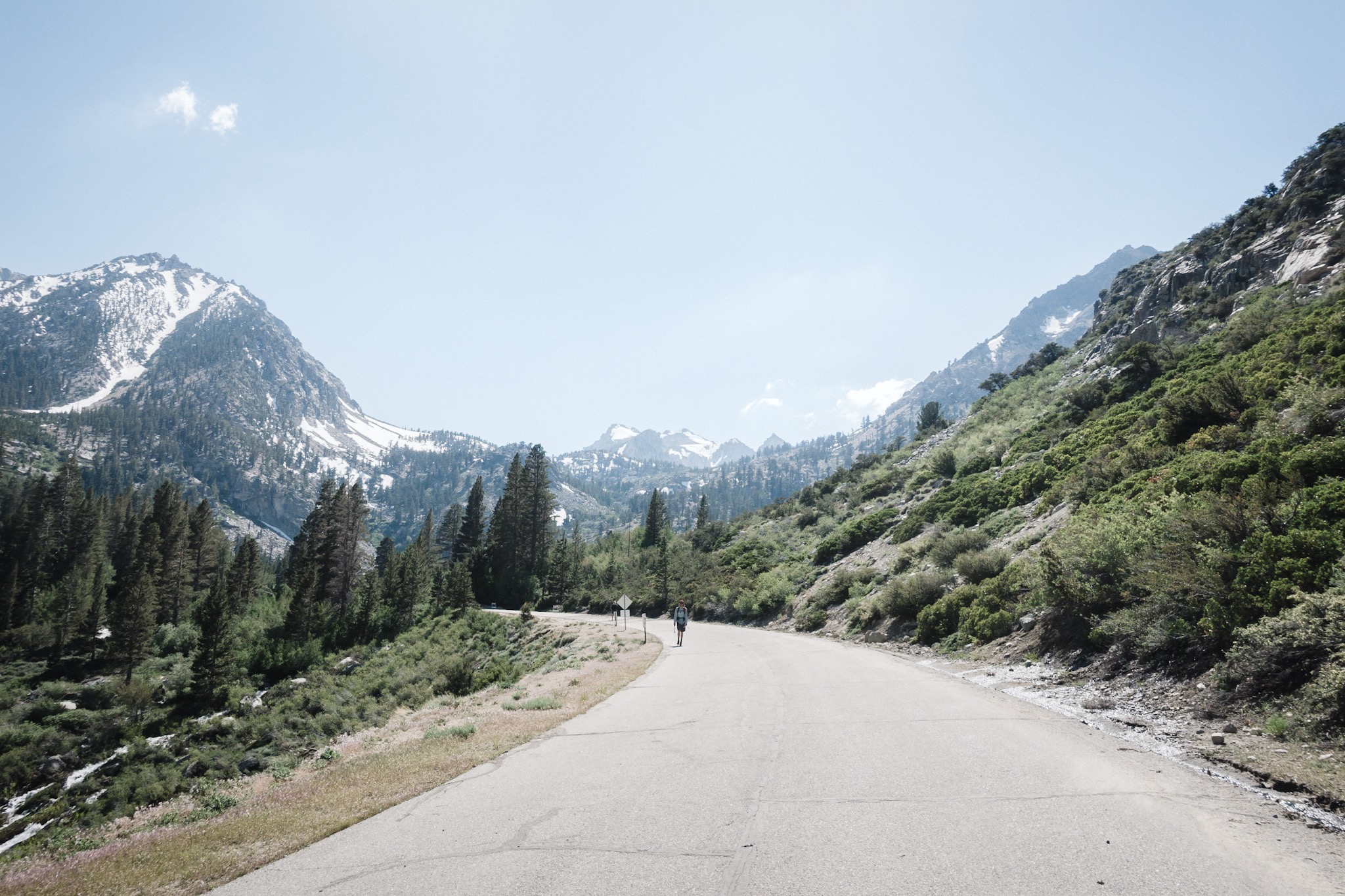
Early morning trail.
Last nights campsite was too close to the water and the condensation has gotten my sleeping bag all wet. I have to dry it during the day on one of the breaks or I'm going to sleep cold the next night.

Topo and DG enjoying the scenery.
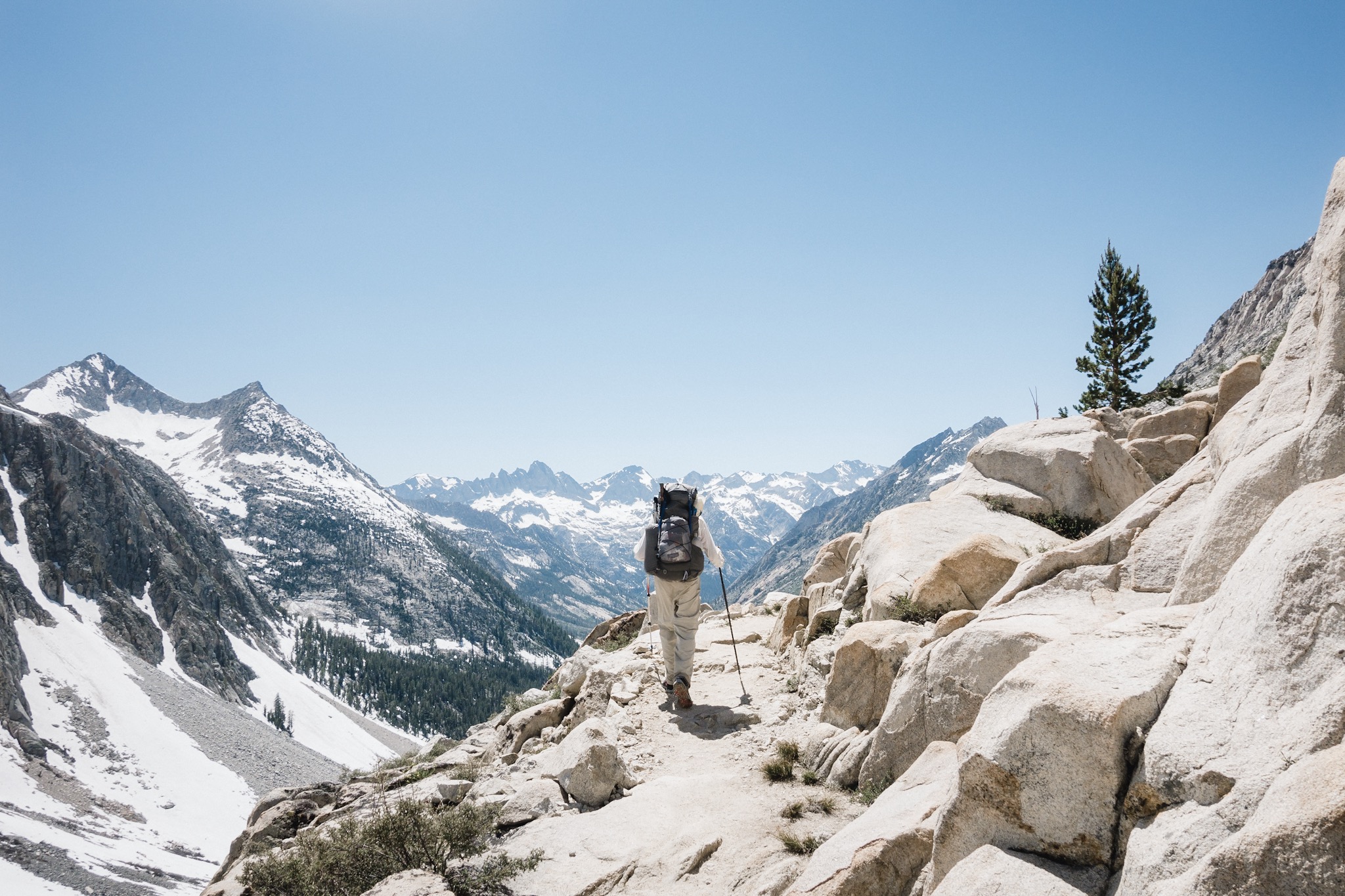
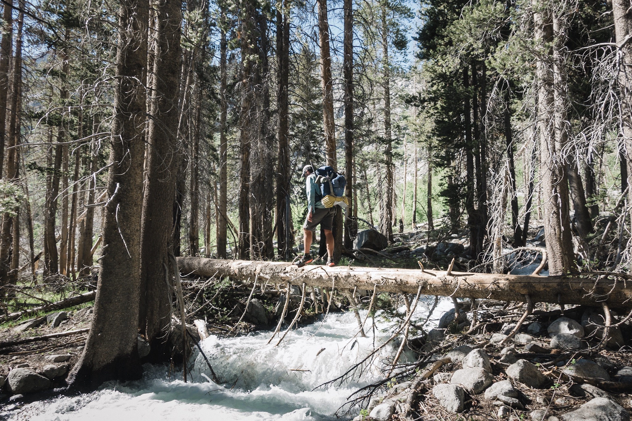
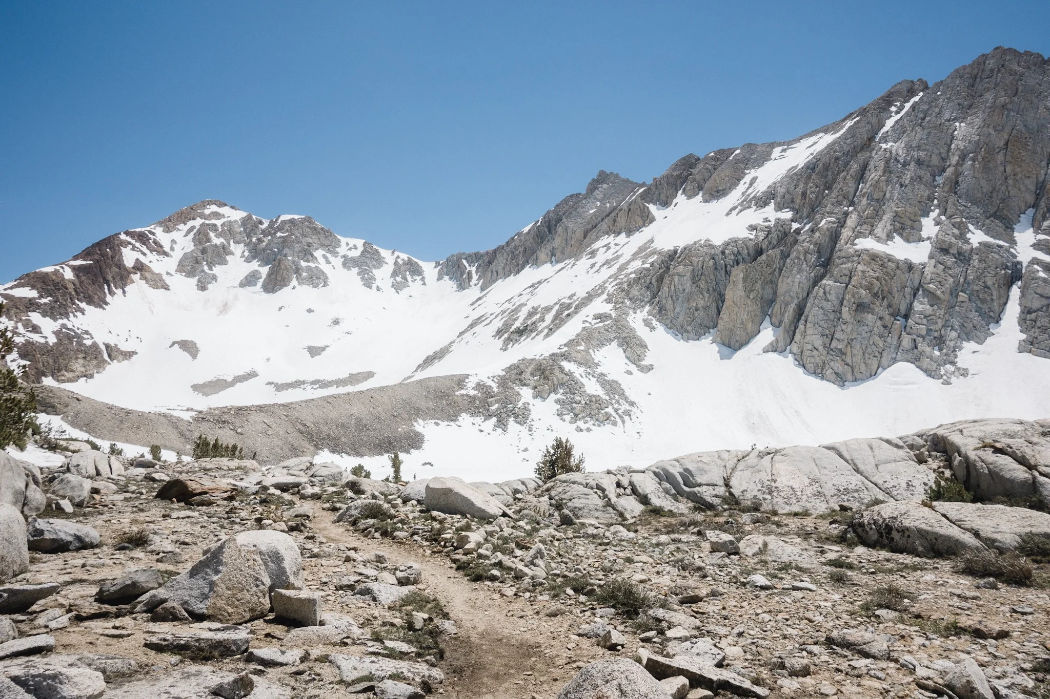
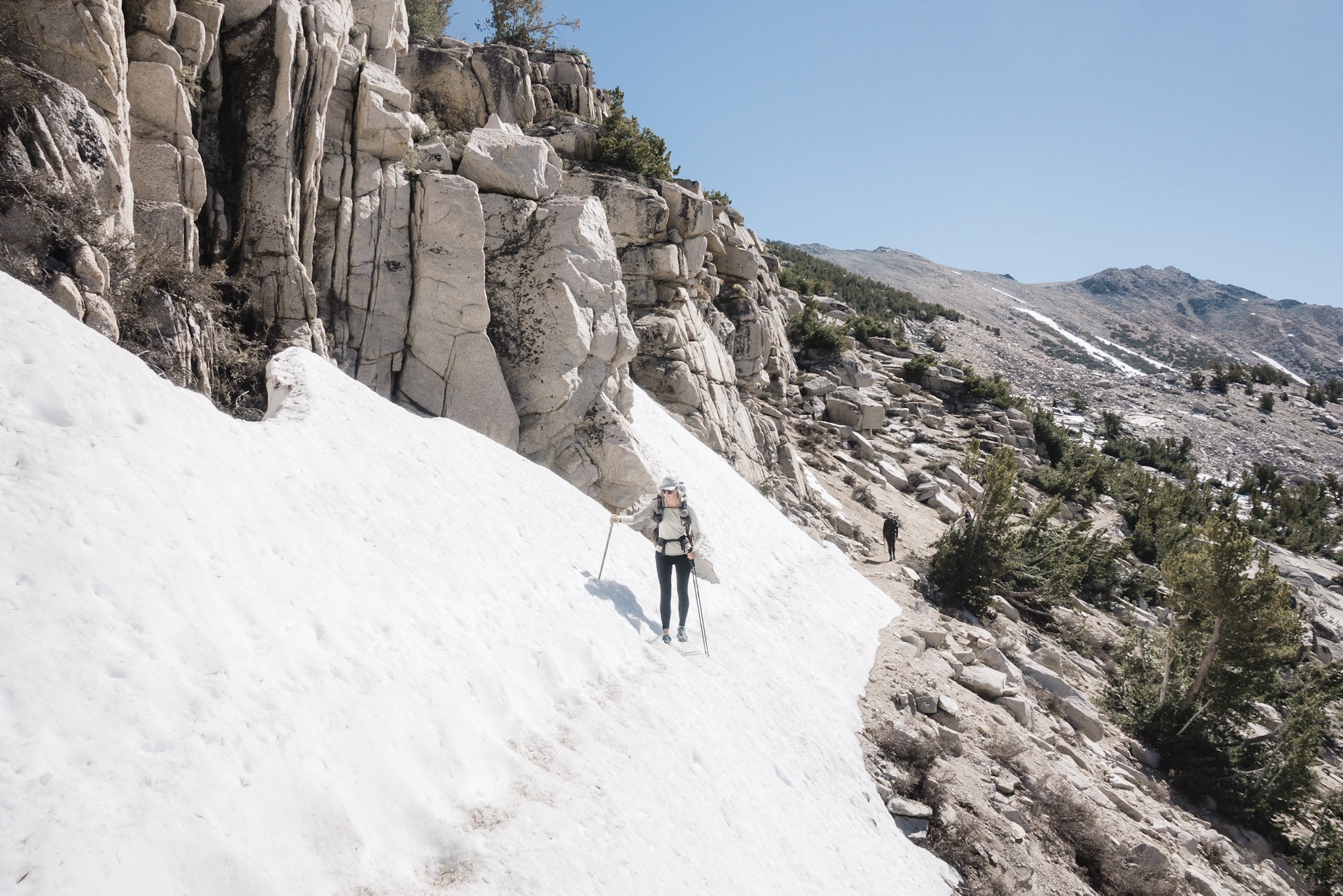
It doesn't take us long to get ready and soon Topo and DG head out. I leave few minutes behind them. The trail is easy, only few snow banks to cross. I follow the trail up the river and soon catch up to Topo and DG. They're marveling at the beautiful scenery opening in front of us.
We push on in a single line and soon DG stops and points right. There's a deer eating not 10 feet from us. The deer doesn't seem to care about us at all. We take our photos and leave him to continue his breakfast.

We meet few other PCT hikers camping along the way. No one seems to be in any hurry, unlike in the desert. And why would you? We're in a gorgeous valley, surrounded by tall mountains on all sides, with a river running through it. It doesn't get much more perfect than this.
We meet one group who are waiting for their friend who's helping their other friend to evacuate through the Bishop Pass due to broken rip bone while self arresting. Auts.

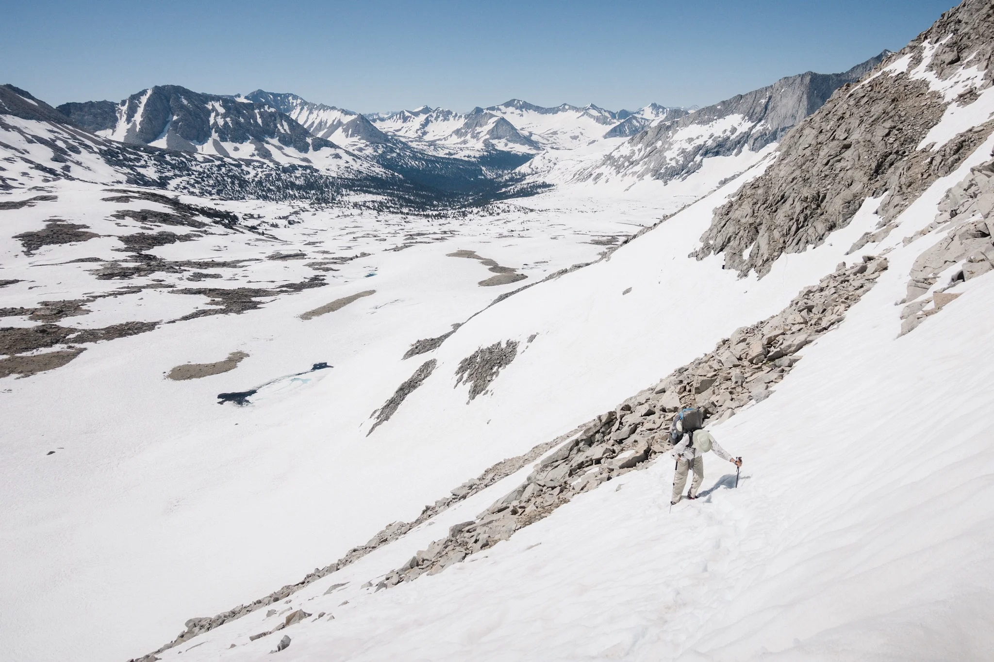
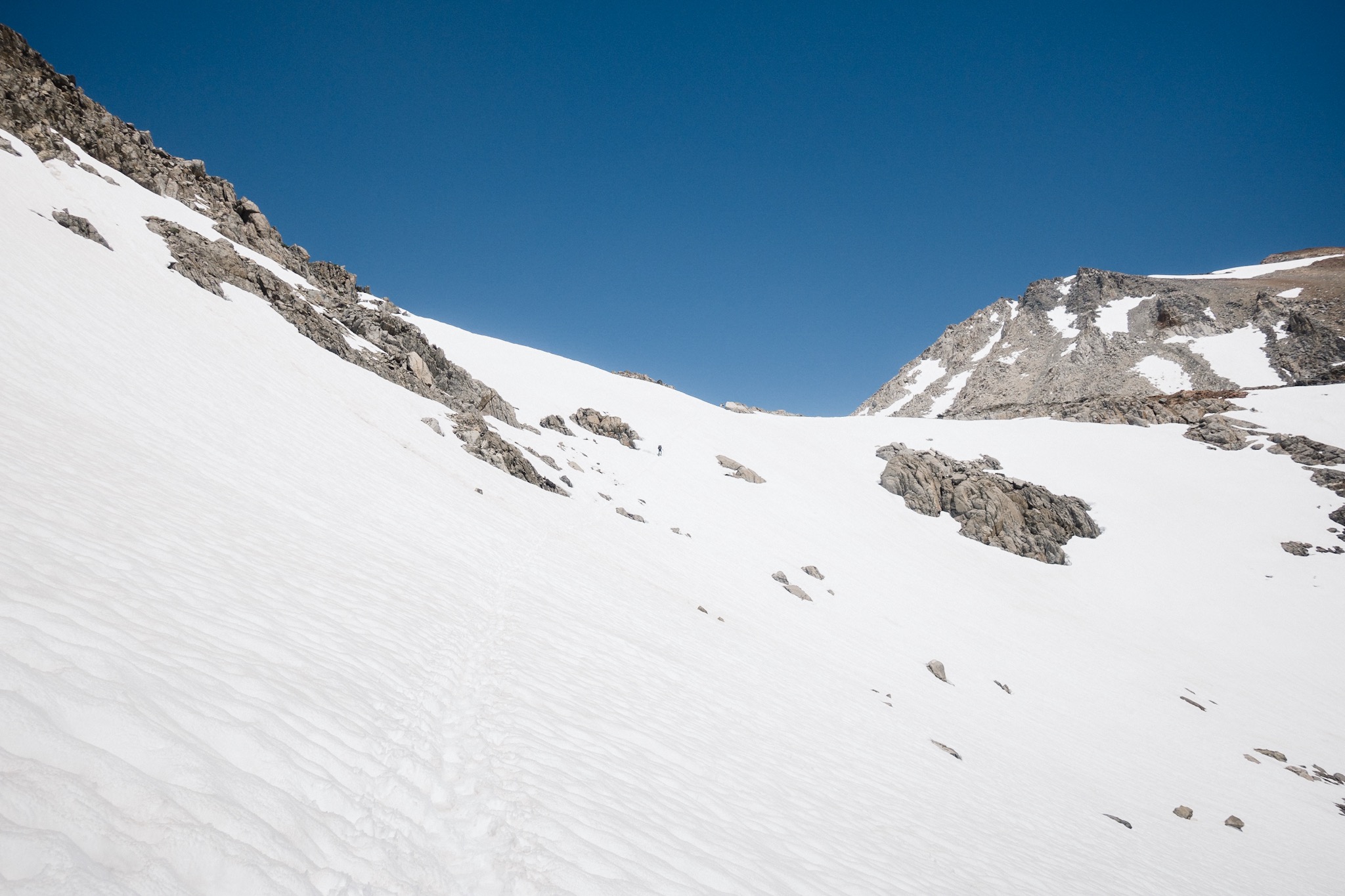
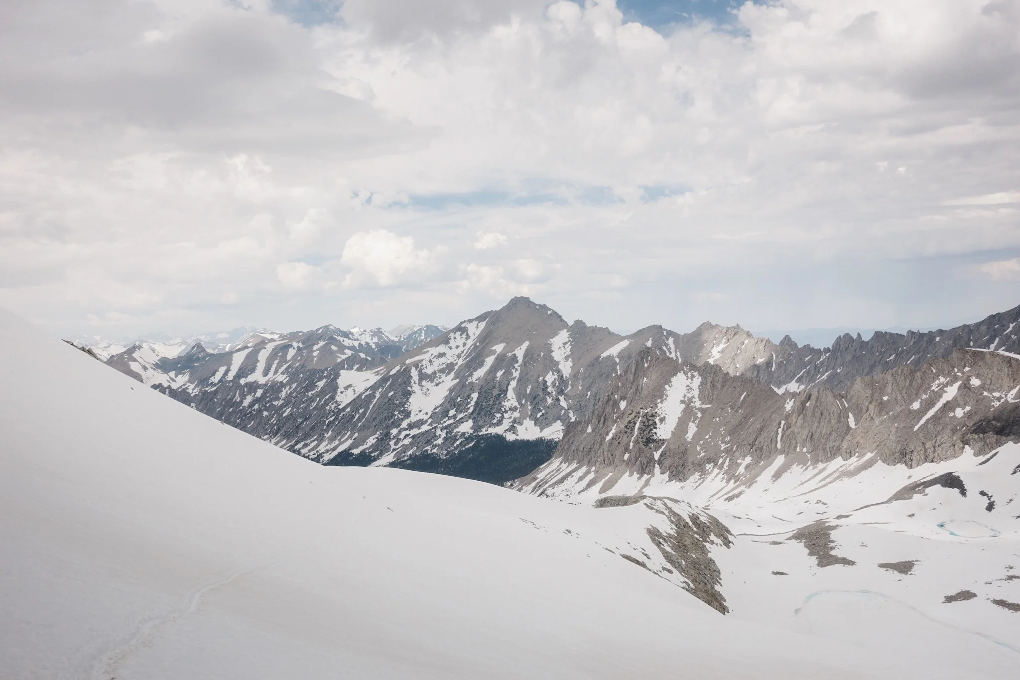
Topo crossing an avalanche field.
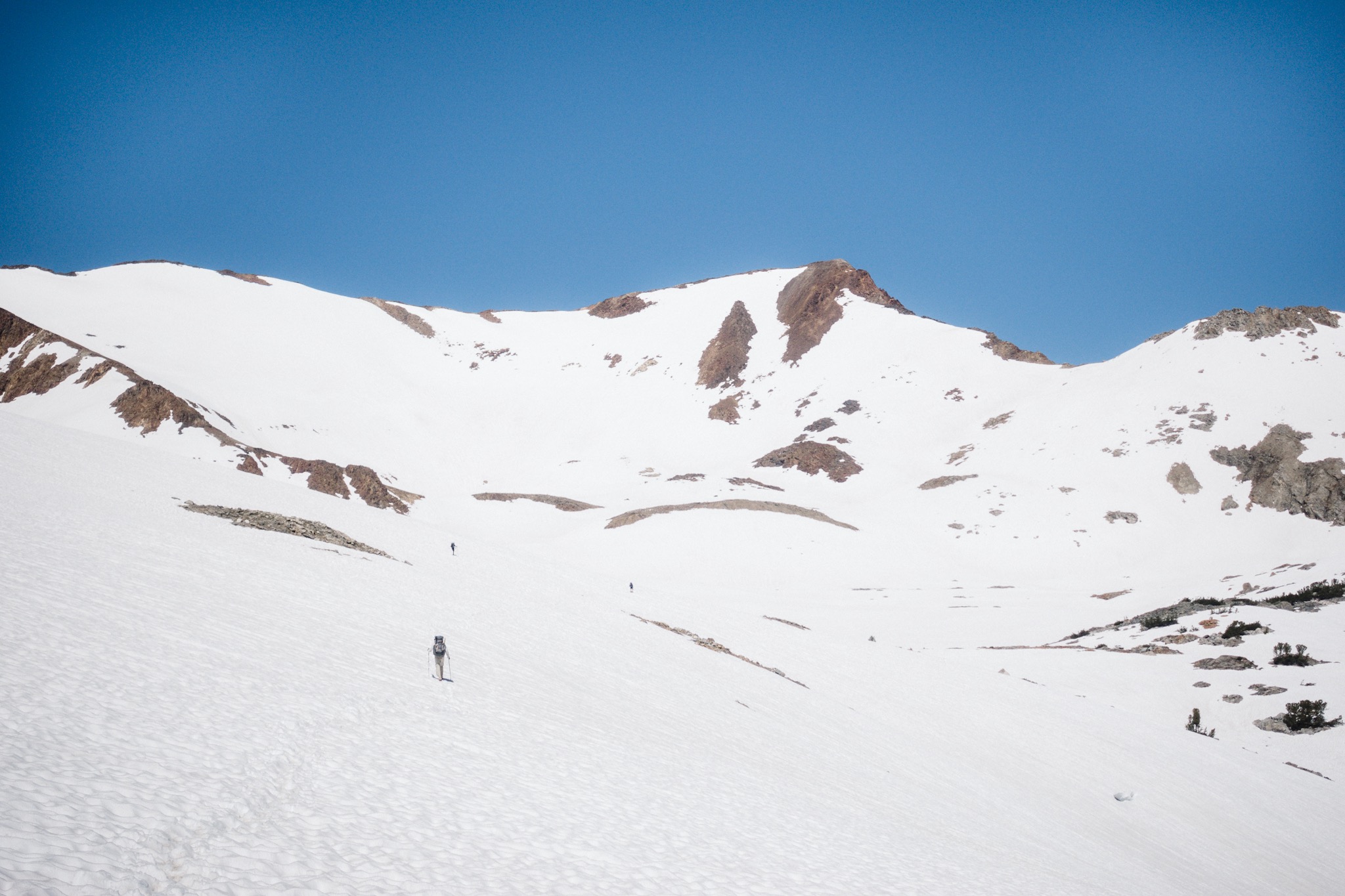
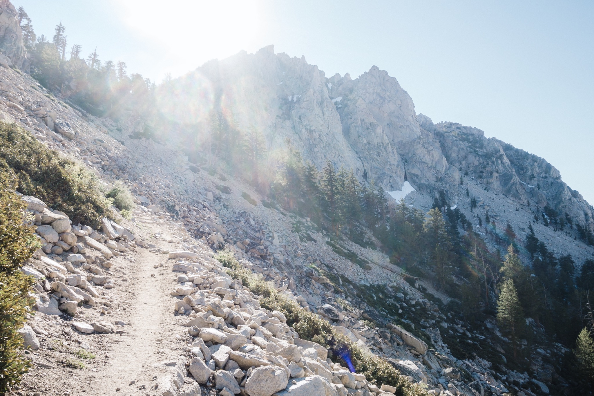
They've heard that the snow begins again at 10,500 feet and that the snowfields before Muir Pass continue for miles and miles. The Muir Pass can have over five miles of snowfields on a regular year. On a high snow year like this one, it's worse.

We look at the time, we started way too late this morning, and start thinking about our options. If we go up, the snow is going to be slushy by the time we reach it and we have no place to stop or camp for miles. With fresh feet it would not be a problem, as we would just push on until the snow ends, but none of us have fresh feet. Mine feel like led.
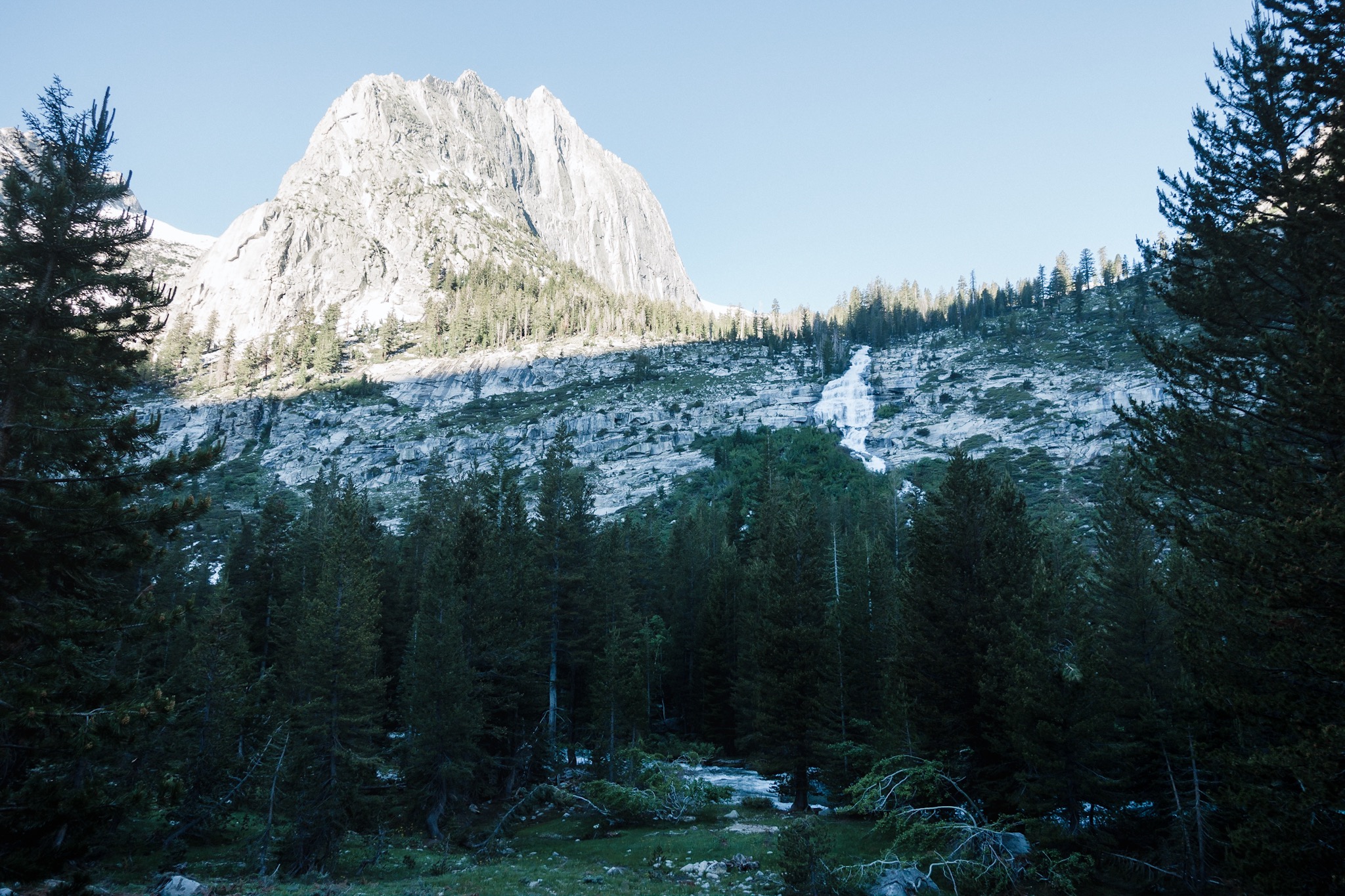
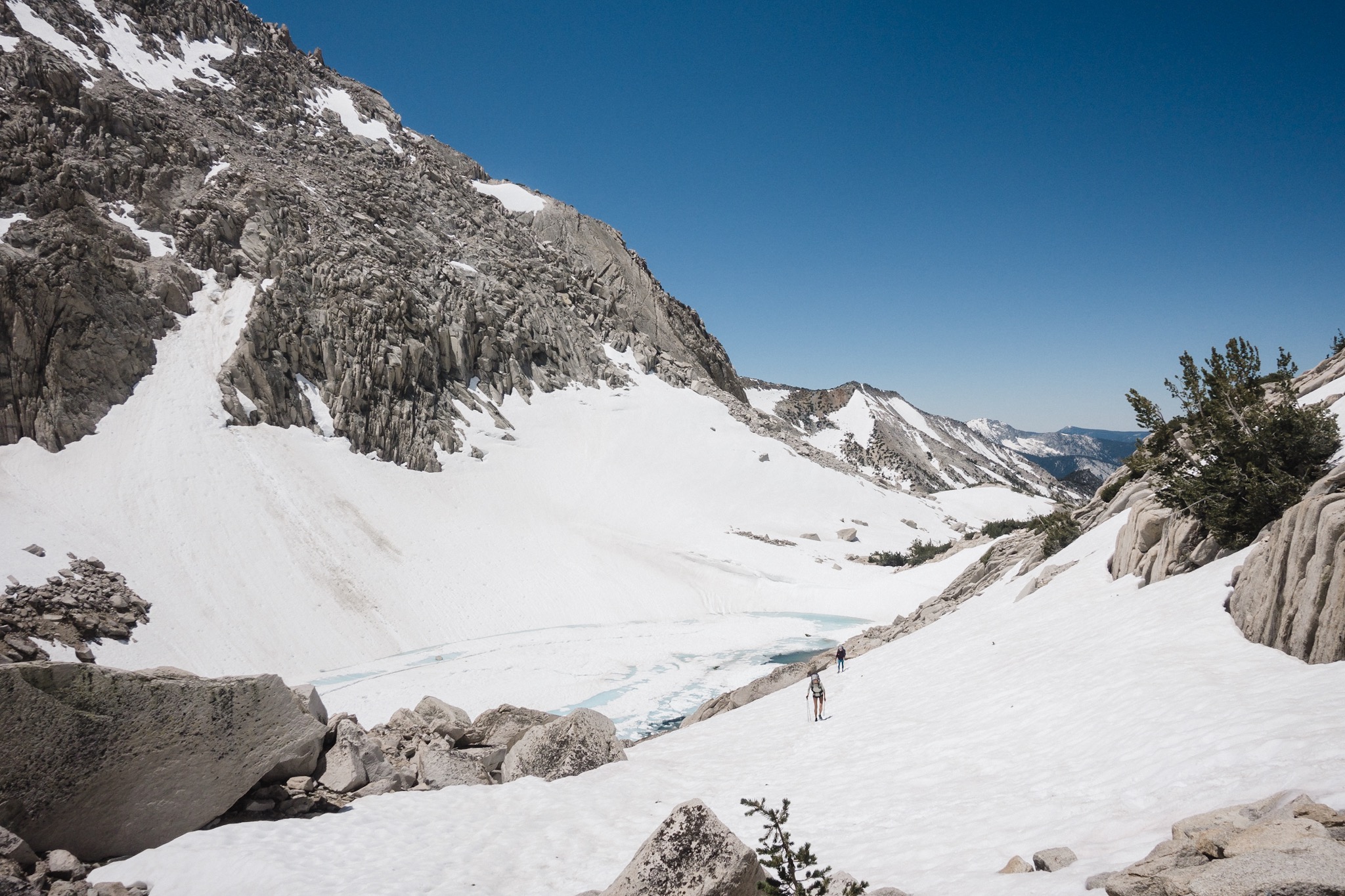
Waterfalls and mountains.
We start looking at the map and our options are to either push up and spend all day in the slow snow and hope to make it to a possible campsite. Or do a really short day and put ourselves right on the snow line and do the pass early tomorrow when the snow is still nice and hard.

As we keep climbing and gaining elevation, my decision comes quite clear. I'm too tired to tackle a huge slushy snowfield while climbing a pass. I look at the map and there's a possible spot right below the 10,000 feet no-fires line. That would allow us to have a fire, and also put us right below where the snow begins, making it easy to get to the pass in the morning.

Trail message.
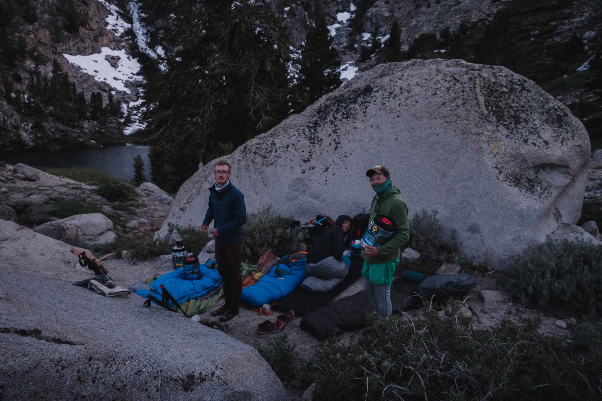
Others agree on taking a shorter day instantly and as we get to the spot, we find a nice little forest just 5 feet below the no-fires sign. Perfect! I put all my gear in the sun to dry and lay down on the soft ground. I fall asleep and sleep for an hour.

No fires above 10,000 feet.
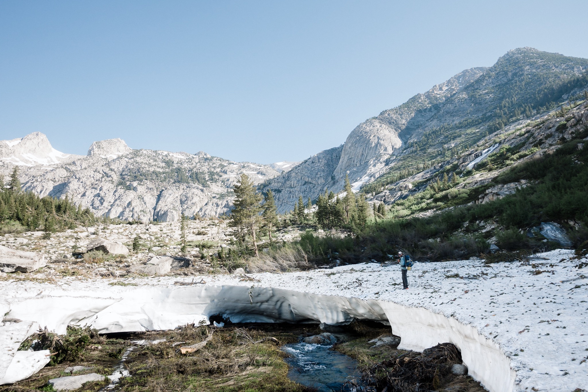
When I wake up, I find the others doing the exact same thing. We are right next to a river that flows down from the snowfields up above us. The massive mountain walls surround us from both sides. It's a beautiful spot to spend an on-trail Nero, which today technically is. I don't mind as I really needed the rest, and spending more time in one of the most beautiful sections of the entire trail is something that I'm really happy about.


My kitchen.
I do some laundry in the river, we collect firewood, and just relax all day. As the sun starts to set behind the mountains we light the bonfire and gather around it to eat and enjoy the warmth. We tell stories and jokes all night and then get to bed early. Tomorrow we'll tackle Muir Pass.

My home for tonight.
Sponsored by:
![]()